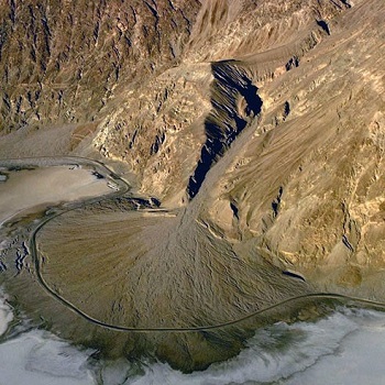
Geosciences Research
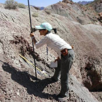
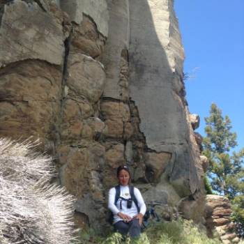
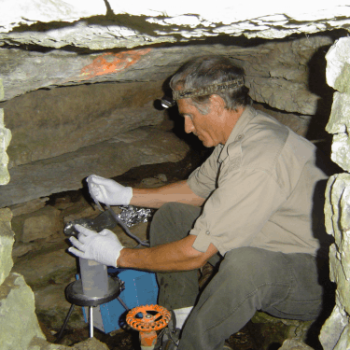
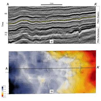
The Department of Geosciences conducts research on a wide range of Earth, geologic, geographic, and human systems and processes.
For a list of Department of Geosciences dissertations and theses, please refer to the University of Arkansas Libraries website.